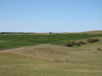
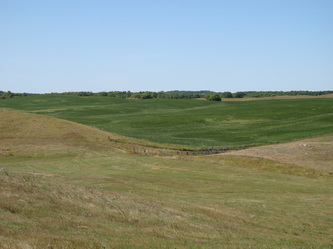
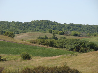
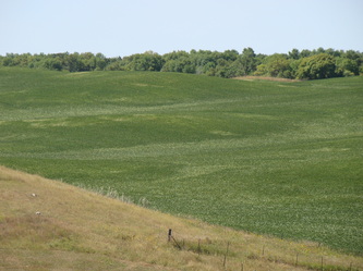
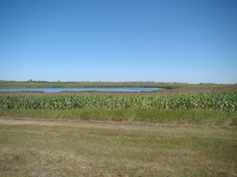
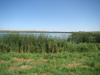
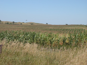
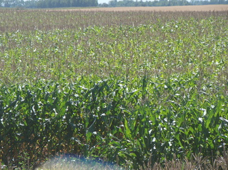
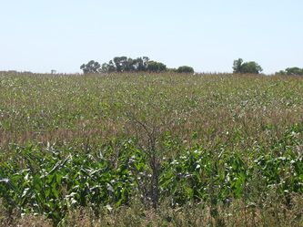
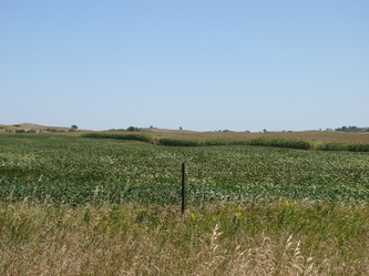
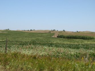
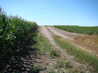
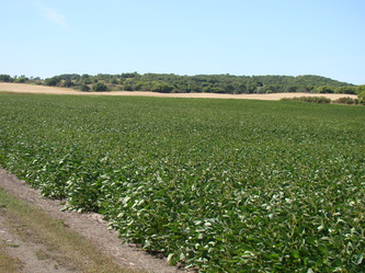
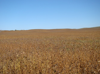
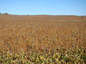
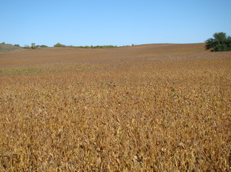
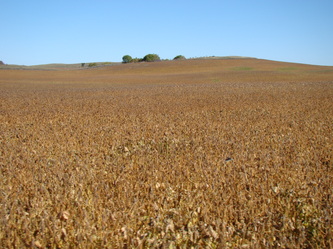
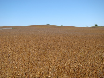
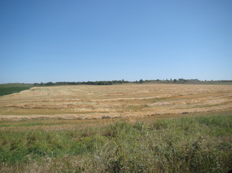
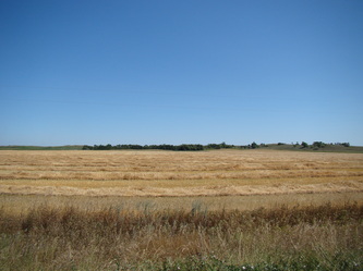
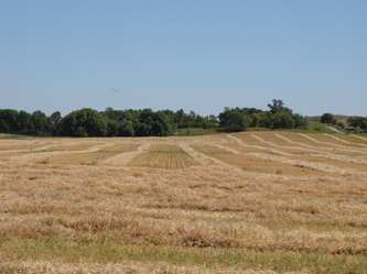
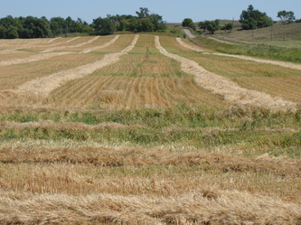
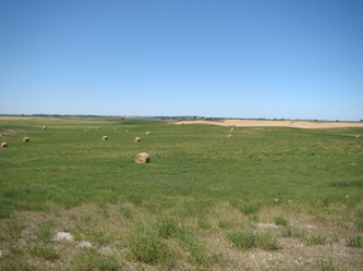
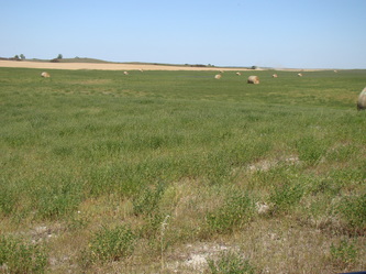
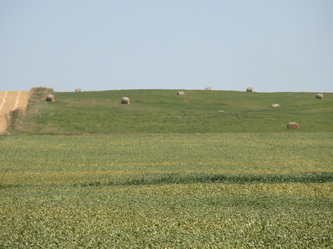
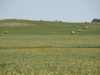
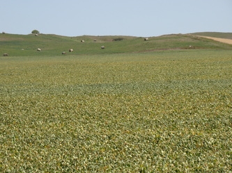
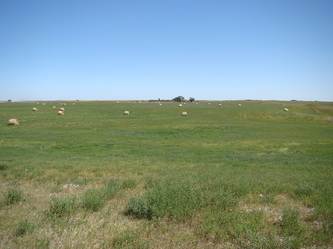
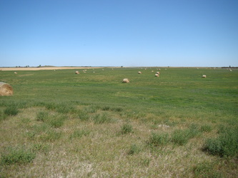
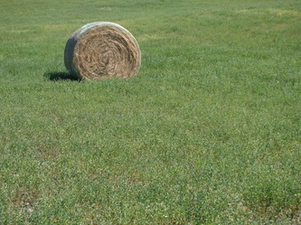
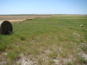
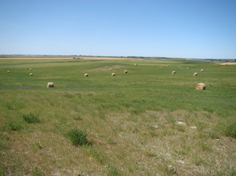
BENSON COUNTY, ND LAND AUCTION
430 +/- Acres
SOLD!!
|
Auction Date: Tuesday, November 19, 2013
Auction Time: 1:00pm Auction Location: Fireside Inn & Suites, Hwy 2, Devils Lake, ND * 2013 cash rent contract only. No contract for 2014. * Good access to the property * Property will be sold in multiple parcels. |
Auction Terms: An open outcry auction will be held on Tuesday, November 19, 2013 at 1:00pm at the Fireside Inn & Suites, Hwy 2, Devils Lake, ND. Offers will be taken until the last and final bid has been taken and accepted. Call for a complete prospectus to 877-812-4305, 701-968-4305, or 701-303-0392 or email Amy Nikolaisen at amy@candoauctions.com.
Directions: See with each parcel description below. |
Parcel 1:
Legal: SE1/4 SW 1/4 & Lot 4 Sec 30-152N-65W, Fort Totten Township, Benson Co, ND
2012 Real Estate Taxes: $289.37
Deeded Acres: 77 +/-
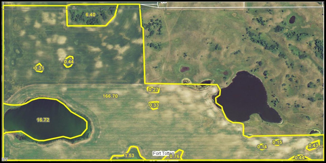
FSA Cropland Acres: 235.22 (shared with Parcel 2)
Base Acres: Wheat 132.1 ac, 27 bu; Oats 11.1 ac, 43 bu; Flax 8.8 ac, 10 bu; Corn 7.6 ac, 40 bu; Sunflowers 48.7 ac, 750 lbs; Barley 26.9 ac, 34 bu ***FSA will have the final determination for prorating base acres and yields.***
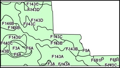
Soil Productivity Index: 48.6
USFW Wetland Easement: yes
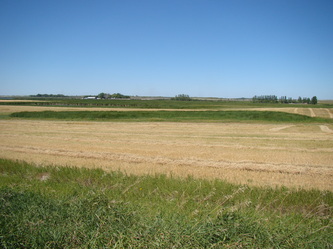
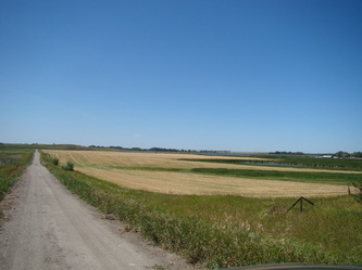
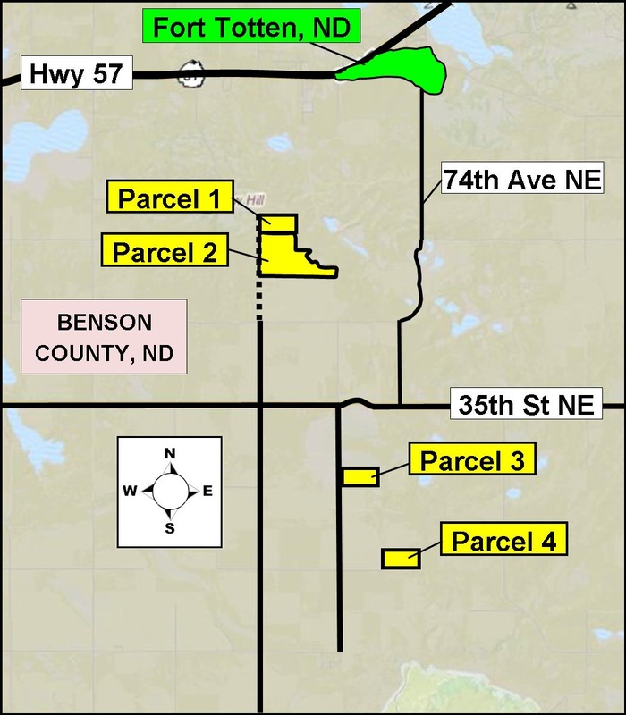
Directions: From Fort Totten, ND, travel 4 miles south on 74th Ave NE. Turn west on 35th St NE & travel 2 miles. Turn north on 72nd Ave NE and travel 1 1/2 miles. The gravel turns to a prairie road. At this point, you are at the southwest corner of Parcel 2. Continue traveling 1/4 mile north. (You can take the prairie road east for a better view of Parcel 2.) Travel another 1/4 mile north to reach the southwest corner of Parcel 1.
Parcel 2:
Legal: NW1/4 NE1/4 and NE1/4 NW1/4 and Lot 1 and NE1/4 NE1/4 and SE1/4 NW1/4 and Lot 2 and SW1/4 NE1/4 and SE1/4 NE1/4 Less 119.75 acre pasture surveyed off Section 31-152N-65W, Fort Totten Township, Benson Co, ND
2012 Real Estate Taxes: $1,391.47 (less amount for pasture acres to be surveyed off)
Deeded Acres: 193 +/-
FSA Cropland Acres: 235.22 (shared with Parcel 1)
Base Acres: Wheat 132.1 ac, 27 bu; Oats 11.1 ac, 43 bu; Flax 8.8 ac, 10 bu; Corn 7.6 ac, 40 bu; Sunflowers 48.7 ac, 750 lbs; Barley 26.9 ac, 34 bu
***FSA will have the final determination for prorating base acres and yields.***
Soil Productivity Index: 63.1
USFW Wetland Easement: 0
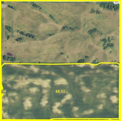
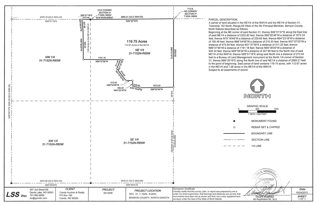
Comments: See recorded survey below.
Directions: From Fort Totten, ND, travel 4 miles south on 74th Ave NE. Turn west on 35th St NE & travel 2 miles. Turn north on 72nd Ave NE and travel 1 1/2 miles. The gravel turns to a prairie road. At this point, you are at the southwest corner of Parcel 2. Continue traveling 1/4 mile north. (You can take the prairie road east for a better view of Parcel 2.) Travel another 1/4 mile north to reach the southwest corner of Parcel 1.
The survey below shows the 119.75 acres of pasture land recently surveyed off the half section. These pasture acres do not sell.
Parcel 3:
Legal: S1/2 SW1/4 Section 8-151N-65W, Twin Tree Township, Benson County, ND
2012 Real Estate Taxes: $318.91
Deeded Acres: 80 +/-
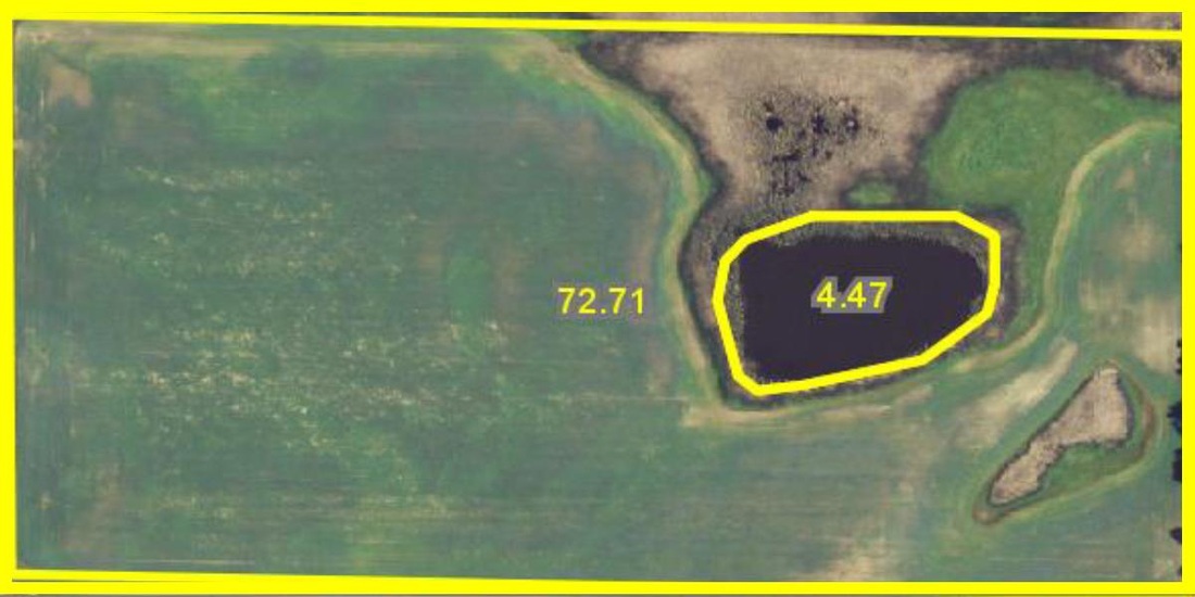
FSA Cropland Acres: 72.71
Base Acres: Wheat 39.5 ac, 27 bu; Oats 3.5 ac, 43 bu; Flax 2.6 ac, 10 bu; Corn 2.3 ac, 40 bu; Sunflowers 14.6 ac, 750 lbs; Barley 8.1 ac, 34 bu
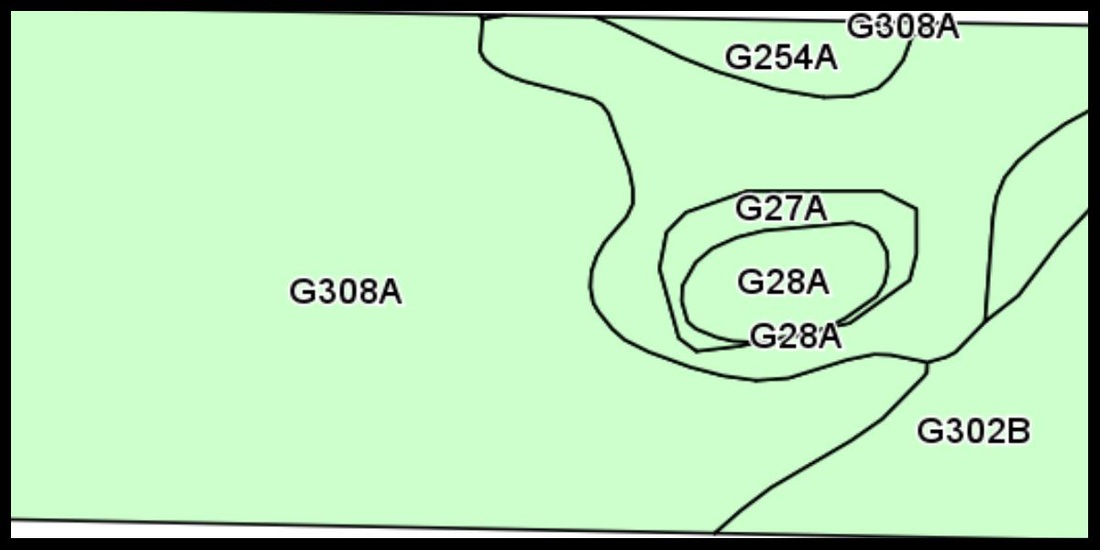
Soil Productivity Index: 52.8
USFW Wetland Easement: 0
Directions: From Parcel 2, travel back south to 35th St NE, turn east and travel 1 mile. Turn south on 73rd Ave NE and travel 3/4 mile. You'll be at the northwest corner of Parcel 3. There is a farmstead road on the south side of the parcel to access the rest of the parcel.
Parcel 4:
Legal: S1/2 SE1/4 Section 17-151N-65W, Twin Tree Township, Benson County, ND
2012 Real Estate Taxes: $440.90
Deeded Acres: 80 +/-
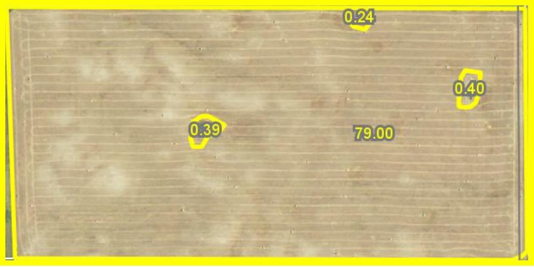
FSA Cropland Acres: 79
Base Acres: Wheat 44.7 ac, 27 bu; Oats 3.1 ac, 43 bu; Flax 3 ac, 10 bu; Corn 2.6 ac, 40 bu; Sunflowers 16.5 ac, 750 lbs; Barley 9.1 ac, 34 bu
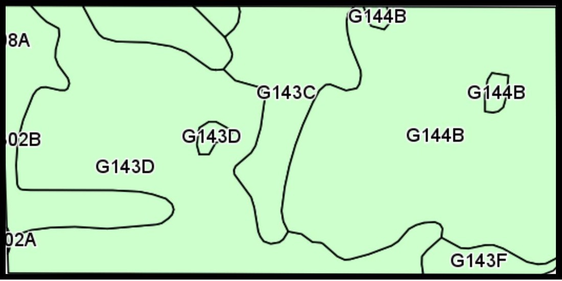
Soil Productivity Index: 57.6
USFW Wetland Easement: 0
Directions: From Parcel 3, continue traveling 1 mile south on 73rd Ave NE, turn east on the prairie trail and travel 1/2 mile. You'll be at the southwest corner of Parcel 4.
Sherrill Baker, Owner
This sale is managed by:
Amy Nikolaisen
Auctioneer, Realtor C: (701) 303-0392 O: (877) 812-4305, (701) 968-4305 amy@candoauctions.com Auctioneer's #951, Clerk's #644, Realtor #7800 A catalog outlining the special terms and conditions of the sale is available by clicking on the .pdf file below or you may request one at 877-812-4305.
| |||||||
Owners reserve the right to accept or reject any and all offers.
